by Maria-Cristina Florian
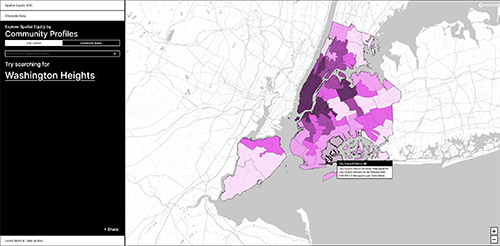
The Transportation Alternatives and the Massachusetts Institute of Technology have initiated a new digital tool, Spatial Equity NYC, to help users understand how space is distributed and restricted across the neighborhoods of New York City. The tool asses the use of streets, sidewalks, and public spaces, as they are key factors that influence data such as pollution, traffic fatalities, accessibility, or air quality. The data collected shows a direct correlation between neighborhoods with low-income communities and communities of color and the detrimental ways in which public space is used, leading to health and mobility issues in those communities.
The majority of public space in Ney York City is made up of streets and sidewalks. The width of a street, the presence of urban furniture such as benches, or the side of parks and green areas all affect the health, accessibility, and resilience of any given community. Most often wider streets are outfitted with more traffic lanes, leading to pollution, and traffic fatalities, while the increased asphalt surfaces contribute to the urban heat island effect. The data shows that narrow roads can mean safer street crossings, cleaner air, and easier access to outdoor recreation facilities.