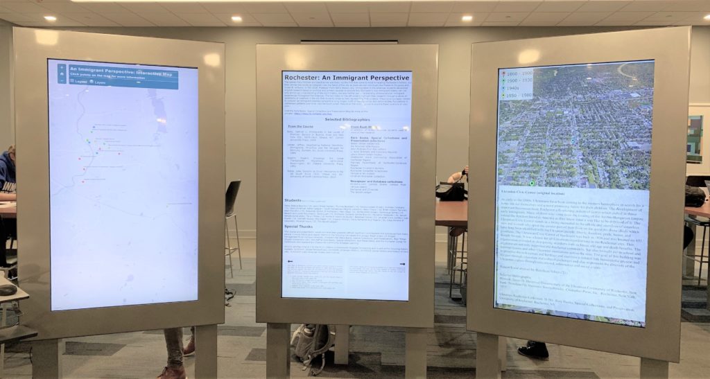
 The Digital Scholarship Lab at University of Rochester’s River Campus Libraries outlines the process and outcome of the final course project for History 252: Immigration in the Americas, where students created Dynamic Maps Using CSV, Google Earth, KML and ArcGIS Online.
In the project, “…[s]tudents developed original research based on archival and primary sources to explore how Rochester’s own immigrant history can not only enrich our understanding of the city’s history, but also further our understanding of transnational immigrant experiences throughout the Americas.” This interactive map (exhibited above) was one way the students’ research was presented. The project’s Lab Notes walk you through the tools and process, including a project diagram of how tools are linked.
Check out this great example as well as other Lab Notes and Projects the Lab has helped produce.