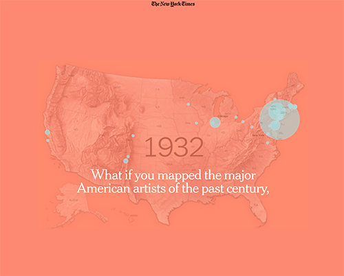
 According to the creators of Mapping the Whitney Biennial, “[m]apping these [artists’s] locations tells a story of influence and power — but also one of friendships and creative communities, of housing prices and economic change, of landscape and light. Here are some of its facets.”
Methodology: Between 1932 and 1975, the Whitney’s Annual and Biennial exhibition catalogs included the artist’s home, studio or gallery address. From 1977 onward, artists were listed by city. Artists who were featured in more than one Whitney exhibition are shown at the address associated with their first appearance in a given geographic area.