 This year, the IRC DIL lecture series has focused on Mapping, culminating in a hands-on map-making workshop.
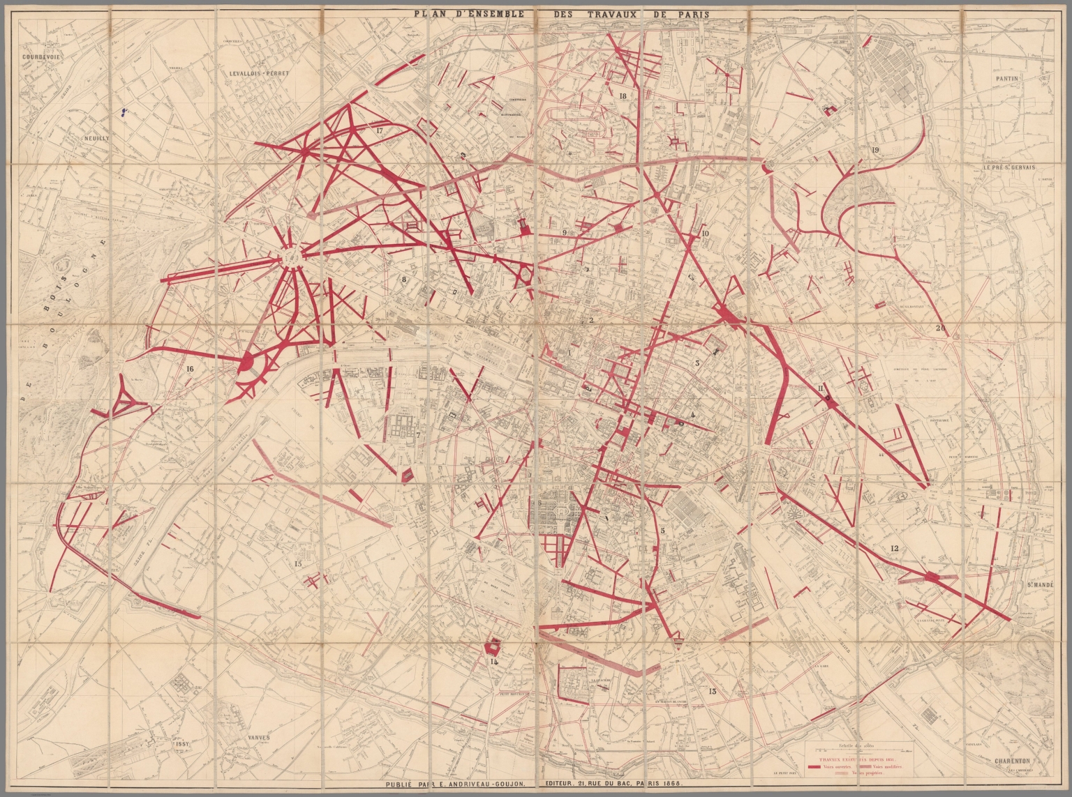
However, sometimes we’re looking for historical maps and ways to work with them. A magnificent resource for the study and research about and with historical atlases and maps is David Rumsey’s Map Collection. At his last count, there are over 91,000 high-resolution maps and related images available on his collection site. Tags include data visualization (not a 21st-century invention; see map above).
The site also has a great tool – Georeferencer – that allows you to overlay historic maps on modern maps or other historic maps. The overlaid maps reveal changes over time and enable map analysis and discovery. Features of the latest version include georeferencing several maps on one sheet, grid view to compare multiple maps, Swipe and Spy Glass views, built in 3D viewer, Transcribe and GeoEditors, and all new Georeferencer Compare view.
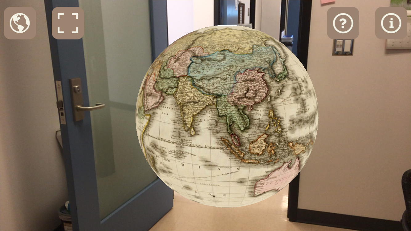
 BONUS: for those of you with iPhones, there is the AR Globe app that allows users to explore historic globes in a space of your own choosing, like my office. The old globes float in your room in front of you – you can spin, resize, move towards them and around them using your screen, as well as move inside of them.