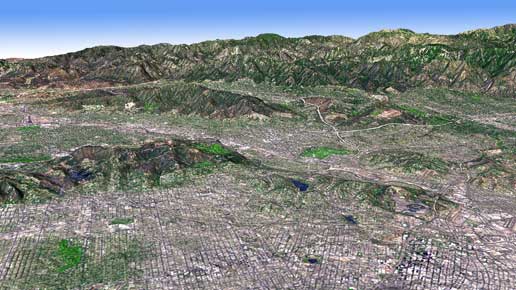
 This week NASA and ASTER (Japan’s Advanced Spaceborne Thermal Emission and Reflection Radiometer) released a new and more complete digital topographic map of Earth. Best of all, it is available online to users everywhere at no cost.
NASA’s press release is here, with links to downloading the ASTER global digital elevation model